A memorable road trip to Kazi La
Kazi La is a high mountain pass at an elevation of 4.439m (14,563ft) above the sea level, located in Litang, in southwest of Garzê Tibetan Autonomous Prefecture, Sichuan, China.
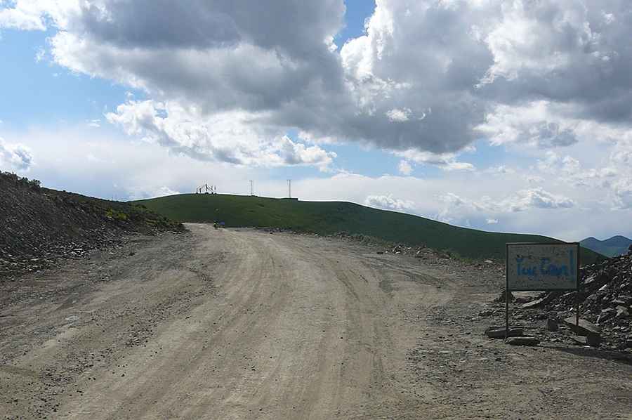
Is Kazi La unpaved?
The road to the summit is mostly unpaved but navigable by most passenger vehicles. It’s called China National Highway 318 (G318). The drive is pretty challenging, with steep sections and loose gravel. The road is not easy, with countless turns and twists.
How long is Kazi La?
The pass is 20.2 km (12.55 miles) long running west-east from Donglaiyicun to Lawuke. Always check the weather forecast before you start your journey: adverse conditions are common.
Road suggested by: Hugh Wilson
Pic: 小西天