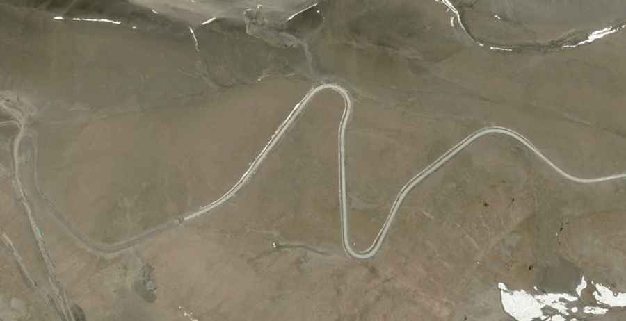
Things to Know Before Driving to Tari La
Tari La is a high mountain pass at an elevation of 5.521m (18,113ft) above the sea level, located on the border of Gyantse County (Xigazê) and Nagarzê County (Shannan) in the south-east of the Tibet Autonomous Region, in China. It’s one of the highest roads of the country.

Set high on the southern Tibetan Plateau, the road to the summit, also known as Dab La. is mostly paved with concrete. It was paved on 2015. It’s called G219 Highway. The pass is 69.3 km (43.06 miles) long running east-west from Cuoguocun to Pumajiangtangxiang.
Located to the north of Pu Moyongcuo lake, remember this is a mountainous area, climbing up a high mountain, with a notorius absence of oxygen. Altitude and extreme weather are always a factor. The road is usually impassable from October to June.
Road suggested by: Hugh Wilson