The road to Kyi La is not for the faint of heart
Kyi La is a high mountain pass at an elevation of 5.106m (16,751ft) above the sea level, located in the Comai County of Shannan, in the south-east of the Tibet Autonomous Region of China.
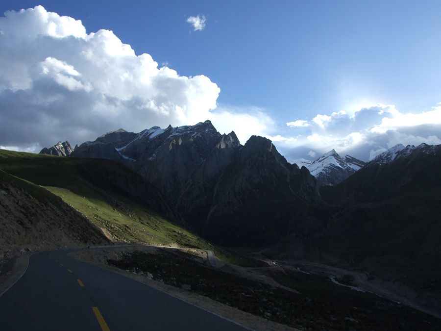
Set high in the Yarlung Valley, the road to the summit is totally paved. Starting at Qudegongcun, the drive is 33.1km (20.56 miles) long. The road offers stunning views of Yarlha Shampo, an important holy mountain in Tibet.
Located just to the north-east of Zhegu Lake, the road is not easy, with countless curves and hairpin turns. To drive the road without stopping will take most people between 1 and 1.5 hours. The road is very steep, hitting a 15% of maximum gradient through some of the ramps.
Road suggested by: Hugh Wilson
Pic: Forrest Kwan