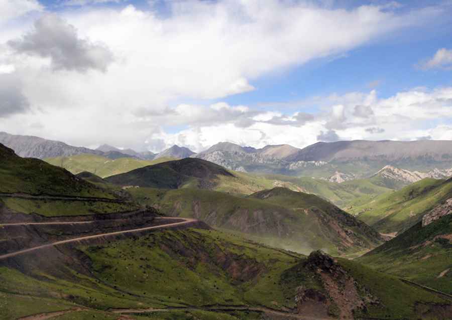
The road to Churi Meri La, a chillout in high mountains
Churi Meri La is a high mountain pass at an elevation of 4,507m (14,786ft) above sea level, located in Nangqên County, in the Yushu Tibetan Autonomous Prefecture, in China.
Where is Churi Meri La?
The pass is located in the southernmost part of Qinghai Province, bordering the Tibet Autonomous Region to the south.
Is Churi Meri La paved?
The road to the summit is mostly unpaved. It’s called China National Highway 214 (G214). It’s doable with a 2WD vehicle in good weather. However, remember this is a mountainous area, and when the snow falls – which it does in winter – conditions become tough and slippery.
How long is Churi Meri La?
The pass is 94.5 km (58.71 miles) long, running from Baizhaxiang (Nangqên County, Yushu, Qinghai) to Asangkaxiang (Riwoqê County, Chamdo, Tibet).
Road suggested by: Hugh Wilson
Pic: Qiu Tianshu