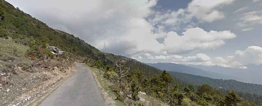
A sensational narrow road to the summit of Chele La
Chele La is a high mountain pass at an elevation of 3,796m (12,454ft) above sea level, located in the western part of Bhutan. It’s one of the highest roads in the country.

Where is Chele La?
The pass is located on the boundary between Paro and Haa districts. The road to the summit passes through lush valleys, pine, and rhododendron forests. The pass connects Paro to the lesser-known valley of Bhutan, called the Haa Valley.
How Long is Chele La?
The pass is 56.4 km (35.04 miles) long, running west-east from Haa (the seat of Haa District) to Paro, the site of the country’s only international airport. The road to the summit is fully paved and quite steep, with hundreds of turns. It’s called the Bondey-Haa Highway and was built in the 1990s. The climb is very even, with a gradient of hardly more than 5%. However, the road is very narrow.
Is Chele La Worth the Drive?
Located about an hour's drive from Paro, the drive through the pass is a beautiful route, almost entirely within a forest. The journey offers superb views, running through dense spruce and larch forests along the scenic mountain slope. It’s definitely worth the drive and is a must-see! On a clear day, weather permitting, you can enjoy spectacular views of Mt. Jumolhari, Jichu Drake, and adjoining peaks to the northwest, as well as views of Haa and Paro valleys.
What’s the Weather Like at Chele La?
The pass often greets visitors with chilly rain, strong winds, and fluttering prayer flags. The wind is usually quite strong in the mountains, blowing year-round. To protect yourself from the cold, make sure to wear warm clothes, a hat, and gloves. Avoid traveling this road in severe weather conditions.