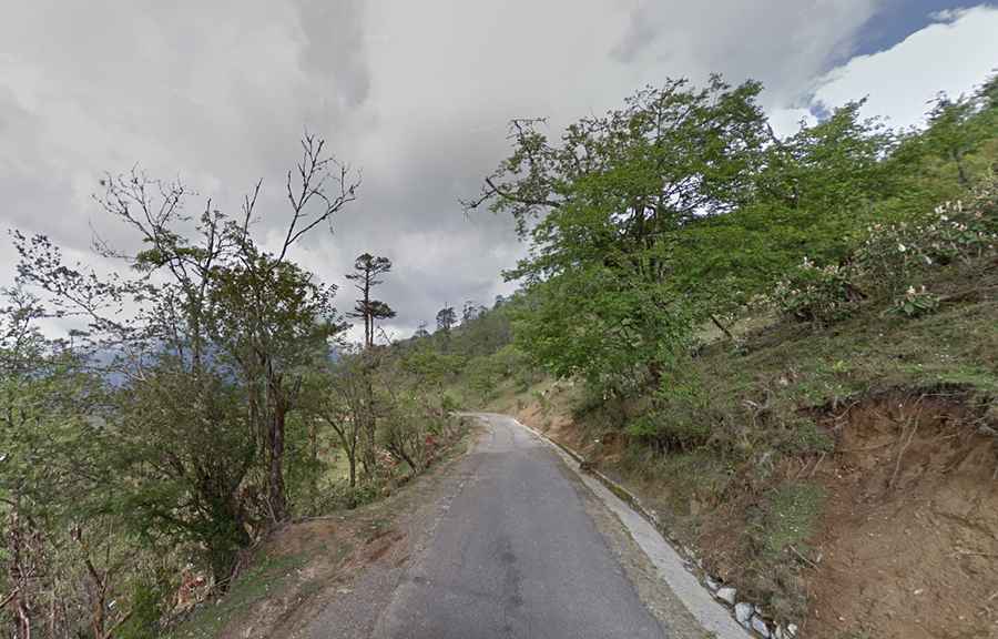
A winding and treacherous road to Lawa La Pass
Lawa La is a high mountain pass at an elevation of 3,349m (10,987ft) above sea level, located in the Wangdue Phodrang District of Bhutan.
Where is Lawa La Pass?
Set high in the central part of the country, in the Black Mountains, this pass is an entranceway to the Phobjikha Valley. At the summit, there are a few vendors. The pass is marked with prayer flags and a stupa.
Is Lawa La Pass paved?
The road through the summit is called the Phobjikha Valley Road. It’s a winding and treacherous drive. The road is totally paved but narrow in parts, with steep sections and a few hairpin turns.
How long is Lawa La Pass?
The pass is 18km (11 miles) long, running north-south from Pele La to Taphu Lhakhang temple.
Is Lawa La Pass worth the drive?
This picturesque spot offers breathtaking views of the surrounding mountains and lush greenery. Upon reaching the pass, the panoramic view is simply awe-inspiring. You can see miles of untouched natural beauty, with the Himalayas standing tall in the distance.