Driving the Wild Road to Mount Kapaz
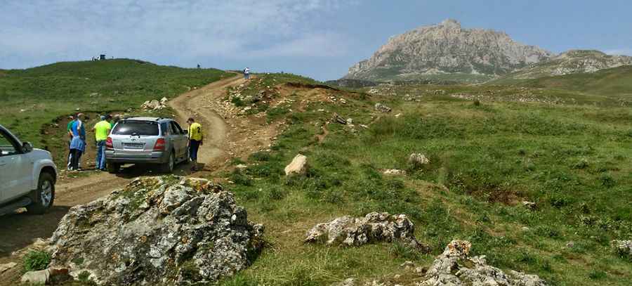
Mount Kapaz is a high mountain peak located in the Goygol region of Azerbaijan. A narrow and curvy unpaved road, north of the summit, climbs up to an elevation of 2,893m (9,491ft) above sea level.
Where is Mount Kapaz?
The peak, also known as Mount Kepez, is located in the western part of the country, within Goygol National Park, near the beautiful Goygol Lake, which was formed by an earthquake that created a natural dam. Remember to carry enough local currency (Azerbaijani Manat) as rural areas may have limited ATMs and digital payment facilities.
Why is it called Mount Kapaz?
The name 'Kapaz' comes from its distinctive shape, as 'Qapaz' in Azerbaijani translates to 'bottle,' symbolizing its wide peak and narrow base.
Is the road to Mount Kapaz unpaved?
The road to the summit is completely unpaved and extremely challenging. An experienced driver and guide are necessary to navigate the route and explain the most interesting landmarks. The road is dangerous due to extreme weather conditions, including blizzards, strong winds, fog, low visibility, black ice, and the risk of avalanches.
How long is the road to Mount Kapaz?
The road to the summit is brutally steep, with sections reaching an 18% maximum gradient. Starting on the challenging R19 road, near Omar Pass, the ascent is 1.6 km (1 mile) long and features 8 sharp hairpin turns. Over this distance, the elevation gain is 260 meters, with an average gradient of 16.25%.
Is the road to Mount Kapaz open in winter?
Set high in the Mrav Range, the site is only accessible by four-wheel drive in good weather. The best time to visit is between mid-July and the end of August.
Pic: Mr.BigHunter