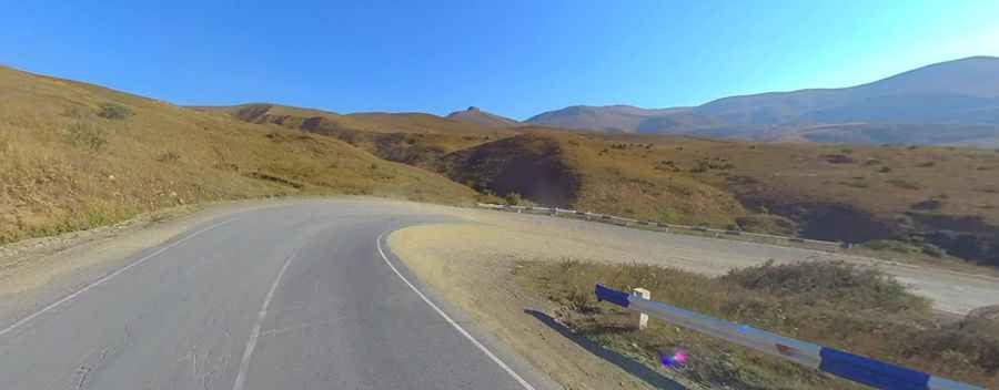
The road to Vorotan Pass is not recommended if you're prone to car sickness
Vorotani Lerrnants'k' is a high mountain pass at an elevation of 2,344m (7,690ft) above sea level, located in Armenia.

Where is Vorotan Pass?
The pass, also known as Voroton Pass, is located on the boundary between Syunik and Vayots Dzor provinces, in the southern part of the country.
What’s at the summit of Vorotan Pass?
At the summit, you will find a couple of curious Inca-style monuments on either side of the pass, as well as a fountain—a popular attraction for truck drivers.
Is the road to Vorotan Pass paved?
The road to the summit is totally paved but quite steep. It’s called M-2, a solitary paved road snaking up from the gorges of Yeghegnadzor.
How long is Vorotan Pass?
The pass is 51.2km (31.81 miles) long, running east-west from Shaki (a village in the Syunik Province) to Getik (a town in the Vayots Dzor Province).
Is Vorotan Pass open in winter?
The road can be impassable at any time due to heavy snowfalls. The weather is unpredictable, and even if you are driving on a dry autumn road, it doesn't mean that in just 300 meters, you won’t encounter snow-covered mountains and hills, with snow glistening like diamonds.