Driving through Quran Road
Quran is a cliff-hugging village located in the Ad Dakhiliyah Region of Oman. The route to the town is one of the most memorable drives in Sharqiya The route is strictly 4WD and is not for the faint-hearted as the last part of the ascent is a near-vertical climb with sharp hairpin bends.
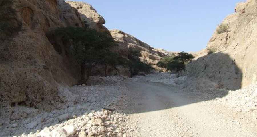
The road is mostly rough and totally unpaved. There are sheer drops virtually along the entire route and enough hairpin turns to make a whirling dervish dizzy. It comprises about 50km of generally good graded track, but there are some pretty rough, and sometimes extremely steep, sections here and there – 4WD is essential, as are strong nerves if you’re driving yourself. Look out for a brown sign to ‘Qaran’ or 'Kbaikab Graveyard and Al Jayla Village' off the Muscat–Sur Hwy, 5km northwest of Wadi Shab. Beware, there are no facilities whatsoever on top of this desolate plateau and the nearest petrol station is in Sur (or along Hwy 23 on the Ibra side of the mountains). Watch for grazing gazelle along the route.
This road to Quran, also known as Qaran or Qur'ran, is a graded track carved out of the rock face that leads to the cliff-hugging village. The track tests the skill, and courage, of any driver. It’s definitely not for anyone suffering from vertigo or a fear of landslides. The ascent offers a panoramic view of the coastal plain and an idea of the arid plateau that characterises the top of the Eastern Hajar range. If you’re feeling brave, have a good sense of direction and spare petrol, you can follow the road across the plateau to the tombs at Jaylah and descend towards Ibra on the other side of the mountains.
Pic: Andreas Nahr