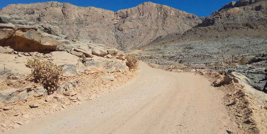
Driving to Jebel Shams, the Highest Road in Oman
Jebel Shams ('Mountain of the Sun') is a high mountain peak at an elevation of 2,970m (9,744ft) above sea level located in Oman. At this elevation, it’s the highest point in the country.

Where is Jebel Shams?
The mountain is situated on the boundary between Al Batinah South and Ad Dakhiliyah governorates, in northeastern Oman, near the border with the United Arab Emirates.
Is the Road to Jebel Shams Paved?
The road to Jebel Shams—often called the "Mountain of the Sun" because it is one of the first places in Oman to see the sunrise—begins as a paved road but includes rough sections. Only 4x4 vehicles are recommended due to the challenging terrain.
Can I Drive to the Summit of Jebel Shams?
The summit houses a military base, so access is restricted. You can drive near the top, but not all the way to the summit.
How Long is the Road to Jebel Shams?
The road is steep and challenging. Starting from Dar as Sawda', it is 10.3 km (6.40 miles) long, with an elevation gain of 1,014 meters. The average gradient is 9.84%. The route offers breathtaking views of the spectacularly deep Wadi Ghul but requires careful navigation.
Road suggested by: Andrew Wheeler
Pic: سامي اليزيدي