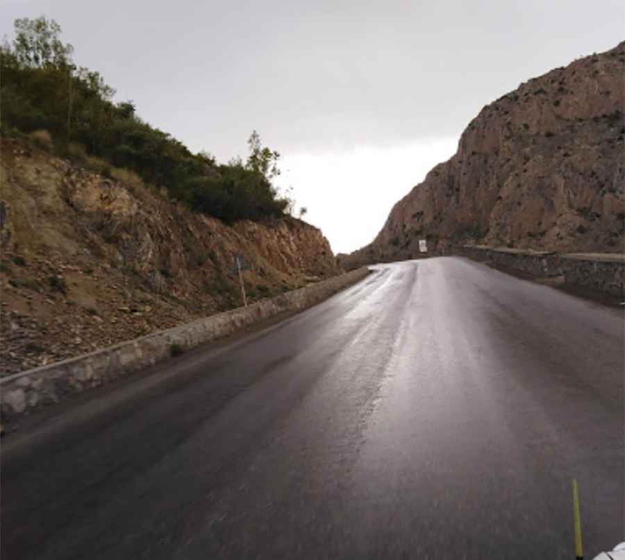
A memorable road trip to Tera Pass
Kotal-e Tirah is a high mountain pass at an elevation of 2.895m (9,498ft) above sea level, located in Afghanistan.

Where is Tera Pass?
The pass is located on the boundary between Logar and Paktia provinces, south of Kabul, in the eastern part of the country.
How long is the road to Tera Pass?
The road to the summit was asphalted in 2006. It’s called Kabul-Gardez Highway. The pass is about 57km (35 miles) long, running south-north from Gardez (the capital of Paktia Province) to Puli Alam, also spelled Pul-i-Alam or Pol-e Alam (the capital of Logar Province).
Is Tera Pass dangerous in winter?
The pass receives heavy snowfall during the winter months, often to the point of being impassable. Snow tends to persist into the summer months on the north-facing side of the mountain ridge.
Can I drive to Tera Pass?
All travel to Afghanistan is strongly advised against due to the volatile security situation, including terrorist attacks, armed conflict, kidnapping risks, arbitrary arrests, and high crime rates. The security environment remains highly dangerous, and foreigners, particularly those associated with Western countries, are prime targets for violence and kidnapping. The country is plagued by frequent violent attacks, including in major cities like Kabul, and criminals exploit the instability for robberies and other crimes. Overland travel is extremely hazardous, with banditry by armed groups being common. Terrorist and criminal groups may set up fake checkpoints and roadblocks to rob, kidnap, or carry out violent attacks. Military and police forces are inadequate in providing security. It is strongly recommended to avoid overland travel unless accompanied by armed security guards. Careful planning of any road travel is crucial, and it is advised to always travel in groups. Women face significant difficulties, particularly at checkpoints, where they are not allowed to travel alone.
Pic: Asadullah Fazli