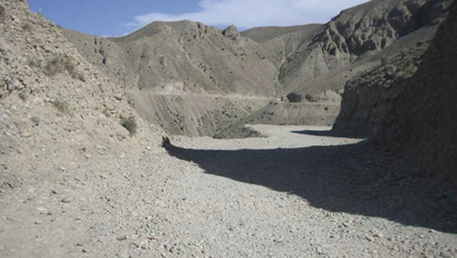
A Difficult and Dangerous Road to Lataband Pass
Kotal-e Lataband is a high mountain pass at an elevation of 2,154m (7,066ft) above sea level, located in Kabul Province, in Afghanistan.

Where is Lataband Pass?
The pass, also known as Kotal-e Latah Band, is situated in the Karkacha hills between Seh Baba and Butkhak in the Hindu Kush Range, in the eastern part of the country.
What Does Lataband Pass Mean?
The name "Lataband" translates to "Mountain of Rags." It comes from an old belief that people who hung pieces of clothing on the bushes along the route would have their wishes granted.
How Challenging is Lataband Pass?
The road over the pass is difficult and dangerous. It played a crucial strategic role during the U.S. invasion of Afghanistan and was heavily used by military vehicles. As a result, the road is in poor condition. While many bombed-out bridges have been repaired, some of the larger structures remain damaged.
How Long is Lataband Pass?
The road to the summit is unpaved and is part of the Kabul-Jalalabad highway/AH1. The pass is 70.2 km (43.62 miles) long, running west to east from Kabul, the capital of Afghanistan, to Surōbī, a town located at the junction of the Kabul River and Panjshir River.
Can I Drive Through Lataband Pass?
Travel to Afghanistan is highly discouraged due to the volatile security situation, including terrorist attacks, armed conflict, the risk of kidnapping, arbitrary arrests, and a high crime rate. If you are in Afghanistan, stay in a secure place and be cautious if you need to relocate. You are ultimately responsible for your safety and that of your family.
Pic: ECL