Driving the Military Road to Mukha Pass
Mukha Pass is an international high mountain pass at an elevation of 2,564m (8,412ft) above sea level, located on the border between Afghanistan and Pakistan.
Where is Mukha Pass?
The pass connects northeastern Kunar Province in Afghanistan with the Khyber Pakhtunkhwa province in Pakistan.
How Long is Mukha Pass?
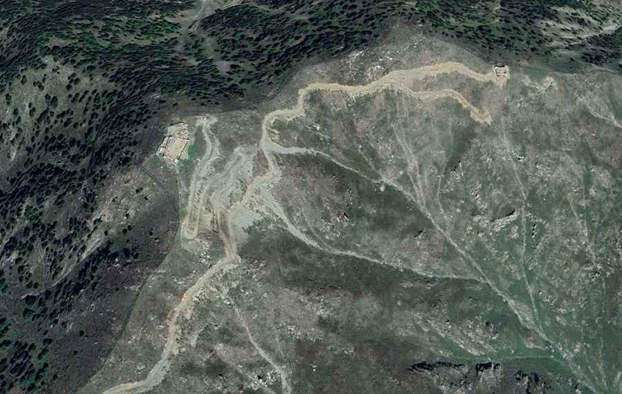
The road to the summit is 22.8 km (14.16 miles) long, starting from Mamund (in Pakistan). On the Afghanistan side, there is no road.
How Challenging is Mukha Pass?
The road to the summit is very challenging. It’s a military road, mostly unpaved, with numerous curves (many of them hairpin turns), narrow sections, steep grades, and dangerous drop-offs. Military installations are scattered along the way. It’s not an easy drive, and high-clearance vehicles are required. The road is not open to foreigners.
Is it Safe to Drive to Mukha Pass?
Traveling to areas along the Pakistan-Afghanistan border poses significant risks. The region faces ongoing security issues, including frequent violence, military operations, and the presence of militant groups. Common threats include kidnappings and terrorism, particularly in remote areas. Many regions are restricted, and even with permits, most governments strongly discourage travel. Due to these high risks, it is advised to avoid this area entirely.
Road suggested by: Hugh Wilson