Adventure along the wild road to Bagak Pass
Kotal-e Bagak is a high mountain pass at an elevation of 3,516m (11,535ft) above sea level, located in Bamyan Province, Afghanistan.
Where is Bagak Pass?
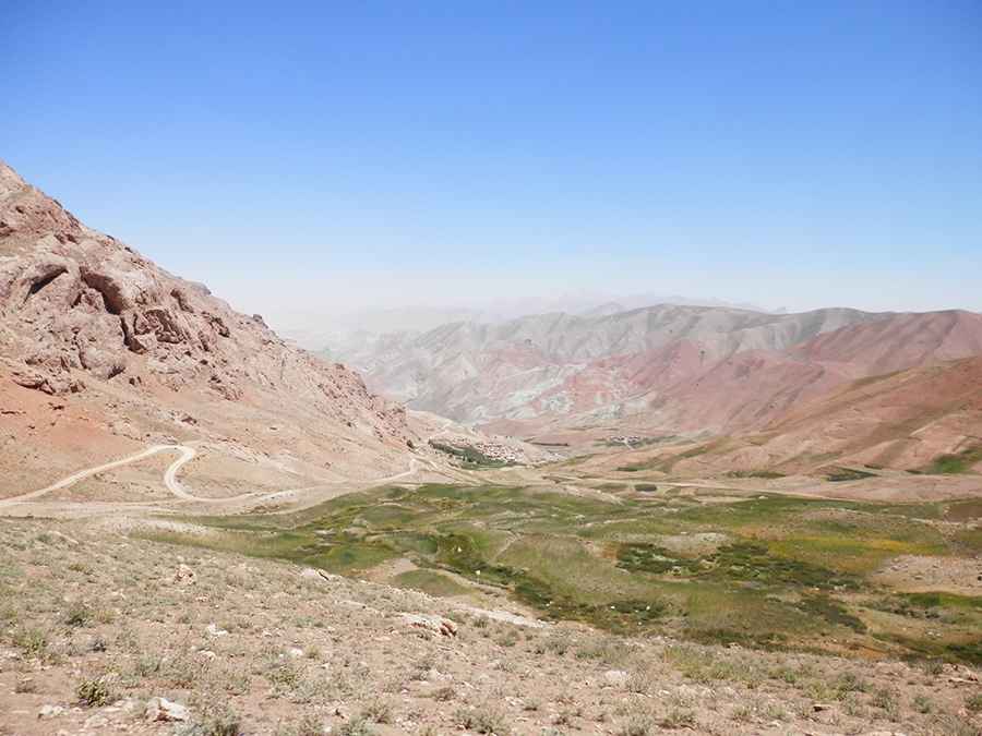
The pass is located in the northwestern part of the province, within the Bande Pitaw Wildlife Refuge, in the northern part of the country. The eastern side of the pass overlooks the valley of Darah-ye Nayak.
How long is Bagak Pass?
The road through the pass is 25km (15.5 miles) long, running west-east from Sarjangal to the A77 road, south of Zarin.
Is Bagak Pass unpaved?
The road is completely unpaved. It’s not easy to navigate, with potholes, steep sections, narrow parts, dangerous drop-offs, and hundreds of curves, many of them hairpin turns.
How dangerous is driving through Bagak Pass?
The route is best tackled during daylight, as night-time drives are strongly discouraged. Exercise extreme caution. Driving in Afghanistan is unsafe due to security risks and challenging conditions. The country faces ongoing armed conflict, terrorism, and the constant threat of kidnapping, particularly in remote areas. Additionally, there’s the risk of roadside bombs and ambushes, and remote areas often lack access to essential services such as emergency assistance, fuel, or medical facilities.
Road suggested by: Hugh Wilson
Pic: Hasan Malistani