Driving the wild road to the top of Surkh Pass
Kotal-e Surkh is a high mountain pass at an elevation of 1.980m (6,496ft) above sea level, located in the Farah province of Afghanistan.
How long is Surkh Pass?
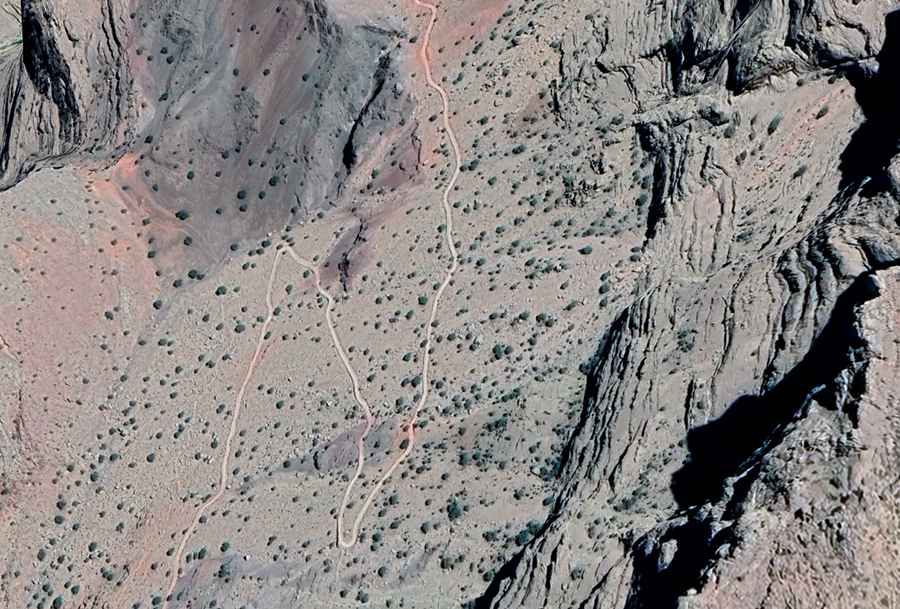
Set high in the central part of the country, the road through the pass is totally unpaved. The road is 14.5 km (9 miles) long, running north-south from Baghe Mir to Masjid-e Sangi. The road is not easy, with potholes, steep sections, narrow parts, dangerous drop-offs, and hundreds of curves, many of them hairpin turns.
How dangerous is driving through Surkh Pass?
Driving in Afghanistan is highly unsafe due to security risks and challenging conditions. The country faces ongoing armed conflict, terrorism, and the constant threat of kidnapping, particularly in remote areas. Additionally, there’s the risk of roadside bombs and ambushes, and remote areas often lack access to essential services such as emergency assistance, fuel, or medical facilities. If travel is unavoidable, exercise extreme caution. The route is best tackled during daylight. Night-time drives are strongly discouraged.
Road suggested by: Hugh Wilson