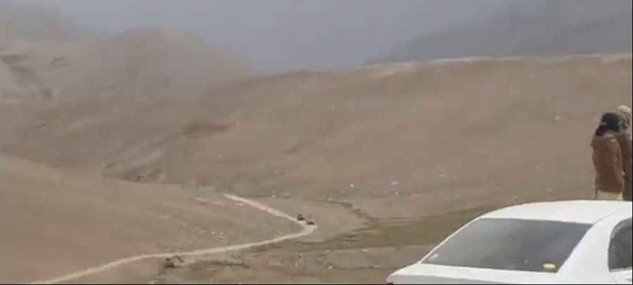
Kawak Pass is one of the gnarliest roads in Taliban territory
Kawak Pass is a high mountain pass at an elevation of 3.671m (12,043ft) above sea level, located on the boundary between Panjshir and Baghlan provinces, in Afghanistan.

Is Kawak Pass unpaved?
Set high in the Hindu Kush range, the road to the summit, also known as Khawak Pass, is totally unpaved. 4x4 vehicles only. The area is not recommended to foreigners due to heavy Taliban fighting. This road is not heavily used. It is now for the most part bypassed by the paved road that runs through the Salang tunnel.
How long is Kawak Pass?
Located in the northern part of the country, the pass is 25.5 km (15.84 miles) long, running west-east from Archar to Khavak. The climb is very steep, hitting a 25% of maximum gradient through some of the ramps. It is thought that Alexander the Great took the Khawak Pass in the spring of 329 BCE when he led his army from the Kabul valley across the mountains to Bactria. If you do choose this route please check up to date information due to the security situation: terrorist attacks, ongoing armed conflict, risk of kidnapping and high crime rate.
Road suggested by: Hugh Wilson
Pic: Nick Waters