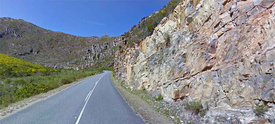
A scenic paved road to Tradouw Pass in South Africa
Tradouw Pass is a mountain pass at an elevation of 352m (1,154ft) above sea level, located in the Western Cape Province in South Africa. It is truly one of those mountain passes that you must drive.

Where is Tradouw Pass?
The pass, initially called Southey’s Pass, is located approximately halfway between Swellendam and Heidelberg, in the Western Cape Province of the country, within the Gatplaats Nature Reserve.
What does Tradouw Pass mean?
Tradouw means ‘the way of the women’ in the old Khoi language.
Who built Tradouw Pass?
Built between 1869 and 1873, with the help of a large group of prisoners, the road to the summit is another masterpiece of Sir Thomas Bain. It is one of the thirteen passes that he built in the area during the 1800s. The road was reconstructed in 1979.
Is Tradouw Pass tarred?
The tough road to the summit, with innumerable turns and twists, is totally paved. It’s called R324. It is truly a beautiful drive, with breathtaking scenery throughout the year. The road to the summit is very steep, hitting a 10% maximum gradient through some of the ramps.
How long is Tradouw Pass?
Running through the beautiful mountain scenery of the province, the pass, also known as Tradouws Pass, is 17.2 km (10.68 miles) long, running north-south from Barrydale to R322 road.
Is Tradouw Pass worth it?
Along the way, there are a number of lookout points for stopping, with designated parking areas, featuring magnificent views. Pick a day with clear skies to enjoy the view.