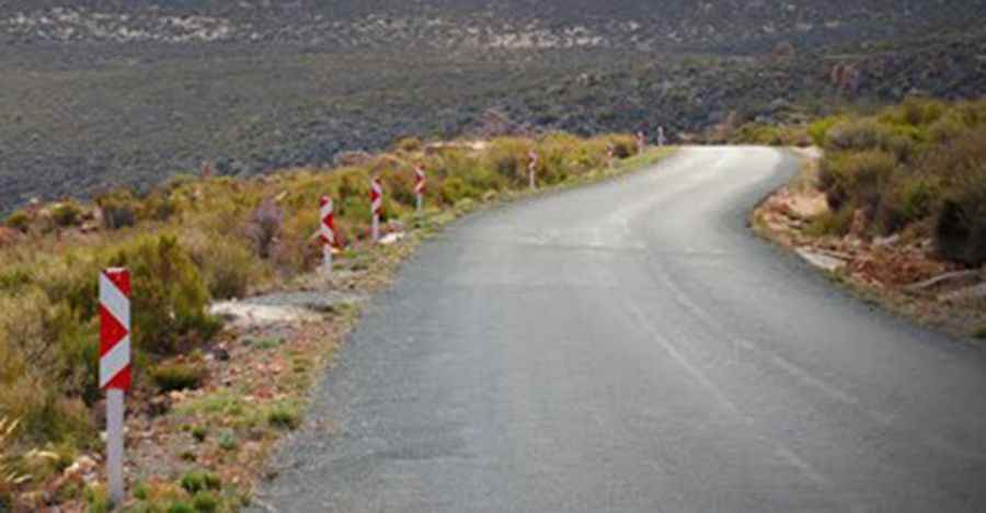
A Scenic Paved Road to Katbakkies Pass
Katbakkies Pass is a mountain pass at an elevation of 1,198 meters (3,930 feet) above sea level, located in the Western Cape province of South Africa.

Where is Katbakkies Pass?
Katbakkies means "Cat's Face" or "Car's Boot." The pass is located in the southwestern part of the country.
Is Katbakkies Pass Paved?
The road to the summit has recently been paved. It is very steep, with an average gradient of 1/12, which will tax many an underpowered vehicle. The road is also quite narrow, so drive slowly to enjoy the spectacular barren landscape.
How Long is Katbakkies Pass?
The pass is 52.5 kilometers (32.62 miles) long, running east-west from the R355 road to Die Dorp Op Die Berg.
Is Katbakkies Pass Worth the Drive?
Located at the border of Groenfontein Private Nature Reserve, the views from the pass are unsurpassed, with a photographer's dream, particularly at the first lookout point. This area is also regarded as the southerly reaches of the Tanqua Karoo, and the bird life along here and further afield is a huge drawcard.
Is Katbakkies Pass Dangerous in Winter?
Set high in the Swartruggens Mountains, the pass experiences extreme temperatures, with cold winters that include snowfall and short, hot summers. Snowfall during the winter is a major tourist attraction in the area.
Pic: Jon Amira