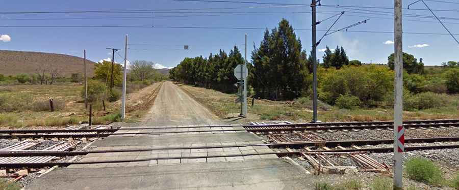
The Road to Swaershoek Pass is Suitable for All Vehicles in Fair Weather
Swaershoek Pass is a high mountain pass at an elevation of 1,981m (6,499ft) above sea level, located in the Eastern Cape province of South Africa.

Is Swaershoek Pass Unpaved?
Located in the southern part of the country, the road to the summit, also known as Swaers Hoek Pass, is unpaved and very steep. It’s called R337. The road is in remarkably good condition and is suitable for all vehicles in fair weather. Originally known as Zwagershoek (Dutch for “brother-in-law’s corner”), this pass should not be taken lightly, as it gains a substantial 470 meters in altitude over 8.19 km, producing an average gradient of 1:12. Some of the steeper sections are as tough as 1:9.
How Long is Swaershoek Pass?
The pass is 84.2 km (52.31 miles) long, running north-south from Cradock, officially Nxuba (a town in the Great Fish River), to Pearston (a small town in the eastern Karoo, between Graaff-Reinet and Somerset East). Set high in the Bankberg mountains, the road provides an exciting experience. Along the way, you will see rugged peaks and ranges.