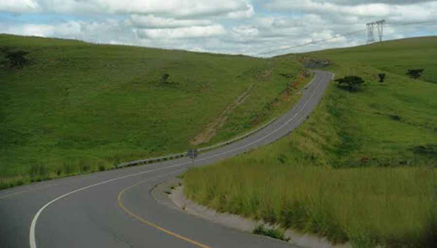
De Beer's Pass is one of the most dangerous roads of South Africa
De Beer's Pass is a high mountain pass at an elevation of 1,722m (5,649ft) above sea level, located in the KwaZulu-Natal province of South Africa. This is considered one of the most dangerous roads in the country and has been the site of a number of fatal accidents.

Why is it called De Beer's Pass?
The pass is named after Herman de Beer, who owned a farm at the edge of the Drakensberg escarpment in 1870 and allowed the road to pass through his property.
Is De Beer's Pass in KwaZulu-Natal paved?
The road to the summit, also known as Debeerspas, is entirely paved and is called S61. The road boasts excellent engineering; however, the impact of sharp curves, concealed corners, and challenging weather conditions is evident.
How long is De Beer's Pass in KwaZulu-Natal?
The pass is 68.7 km (42.68 miles) long, running east-west from Ladysmith (in the Uthukela District of KwaZulu-Natal) to Harrismith (in the Free State province).
Is De Beer's Pass in KwaZulu-Natal open?
The pass is sometimes closed due to snowfalls in winter, and adverse weather conditions are common. Road closures can be frequent, so check conditions before traveling to this area. In good weather, it can be driven in any vehicle.
Is De Beer's Pass in Kwa Zulu-Natal worth it?
Along the way you will be rewarded with wonderful scenery. Unlikely to see another vehicle over the entire route. If you're an adventurous spirit seeking breathtaking landscapes and unique experiences, consider driving along this road. You'll be able to explore South Africa's rich cultural heritage and natural wonders.
Pic: https://mw2.google.com/mw-panoramio/photos/medium/73895988.jpg