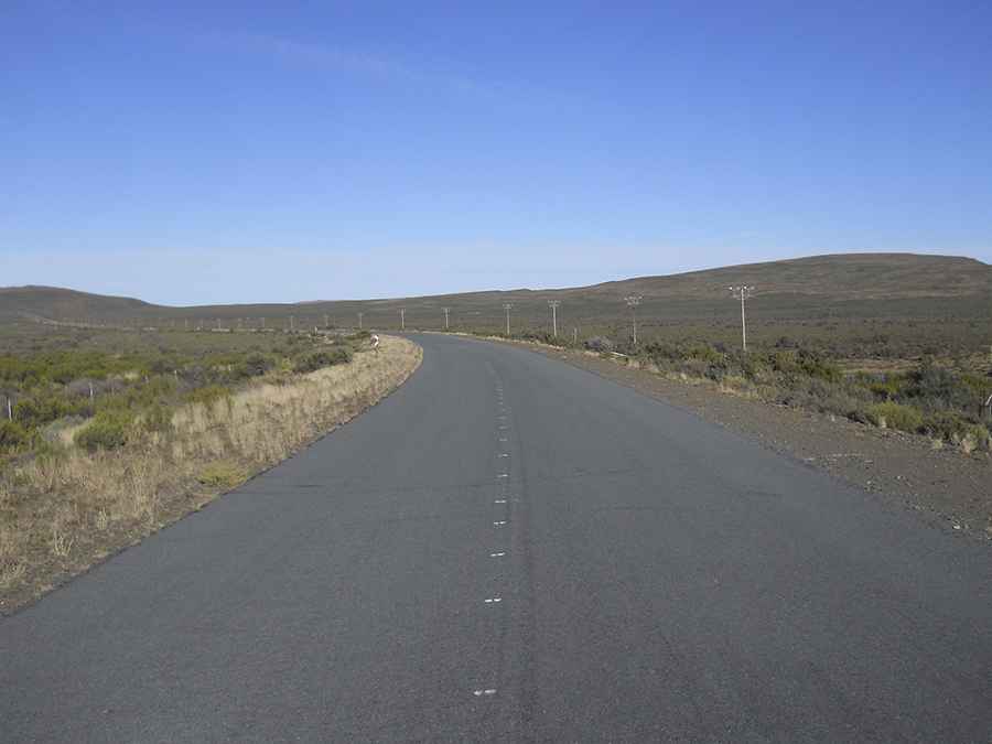
Take the Scenic Road and Discover Blounek
Blounek is a high mountain pass at an elevation of 1,643 m (5,390 ft) above sea level, straddling the Western Cape and Northern Cape provinces of South Africa.

Where is Blounek?
The pass is located in the southern part of the country, within the Nuweveld Mountain Range between Molteno Pass in the south and Roseberg Pass in the north. The road through the pass follows the eastern boundary of the Karoo National Park for most of its length.
When was Blounek Built?
The road through the pass was completed in May 1881. It’s called R381 and features gravel and asphalt sections.
How Long is Blounek?
The road is 110 km (68.35 miles) long, running south-north from Beaufort West (the largest town in the arid Great Karoo region in the Western Cape province) to Loxton (a town in the Karoo region of Northern Cape province).
Pic: Mike Leicester