A memorable road trip to Rooiberg Pass in SA
Rooiberg Pass is a mountain pass at an elevation of 798m (2,618ft) above sea level, located in the Western Cape Province of South Africa.

Is Rooiberg Pass unpaved?
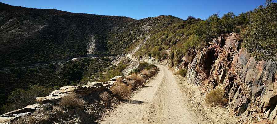
Tucked away within the Rooiberg Nature Reserve, the road to the summit is totally unpaved. Although passable in a normal car, a high-clearance vehicle is recommended.
How challenging is Rooiberg Pass?
Built in 1928, the road features dozens of turns and many other bends with a turning radius in excess of 90 degrees. Some of the hairpin bends and drops are really exhilarating. The road is steep, hitting an 11% maximum gradient through some of the ramps.
How long is Rooiberg Pass?
Set high in the Rooiberg Mountain, the pass is 52.2 km (32.43 miles) long, running from Vanwyksdorp to Calitzdorp.
How long does it take to drive Rooiberg Pass?
Plan about 90 minutes to complete the remarkable drive without stops. The pass meanders through beautiful ravines and over rocky slopes. It’s a lonely drive with wonderful views. There are stunning views of the valley to the east, towards Oudtshoorn, bounded by magnificent mountains to the north and south.
Pic: Brent Coetzee