A journey on the legendary Montagu Pass of SA
Montagu Pass is a mountain pass at an elevation of 741m (2,431ft) above sea level, situated in the Western Cape province of South Africa.

How long is the Montagu Pass?
Tucked away in the Witfontein Nature Reserve, the road is 17.2 km (10.68 miles) long, running south-north from N9 road (north of George) to R62 road, ascending to the tiny hamlet of Heroldt.
Is the Montagu Pass tarred?
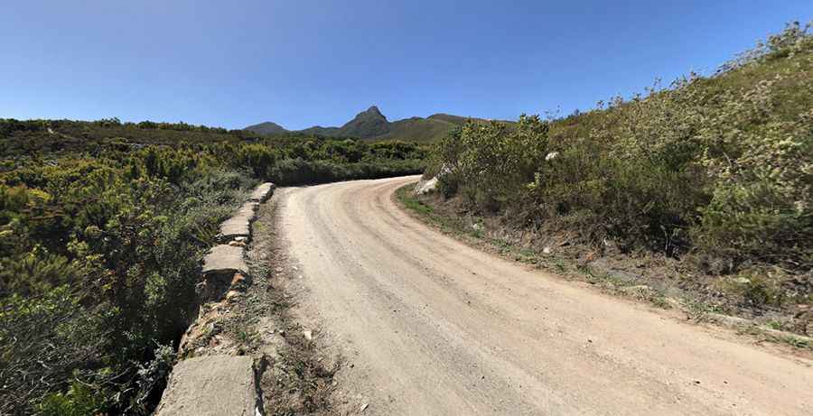
The road is totally unpaved, in reasonable condition even for low-clearance 2x4 vehicles in fair weather. The road parallels the newer Outeniqua Pass.
When was the Montagu Pass built?
Set high in the Outeniqua Mountains, construction of the road started in 1844 and, hand-built by some 250 convicts, opened to traffic in 1847. Henry Fancourt White, an Australian road engineer, was in charge of the work. This was the first road between George and Oudtshoorn. It was hand-built to replace the highly dangerous Cradock Pass. It lays claim to being the oldest, unaltered pass still in use in South Africa. The pass was named after John Montagu, Colonial Secretary of the Cape in the 1840s.
Is the Montagu Pass dangerous?
The road is pretty narrow in parts. When another car comes from the opposite side, it is a nightmare. Portions of the road may be temporarily closed due to road work or inclement weather. This pass was damaged by the floods of November 1996 and was closed for most of 1997. It has been repaired and is now open. The pass narrows down as you progress and get higher up the mountain. The road has around 126 bends, and gradients reach a maximum of 1:6. Big rocks sometimes get dislodged (especially in wet weather) and go tumbling into the ravine.
How long does it take to drive the Montagu Pass?
To drive the road without stopping will take most people between 45 and 60 minutes in fair weather. It’s an amazing drive through spectacular mountains with some of the best scenery in the area. The pass has plenty of places for you to stop and take in the views.
Pic: coolkiwi79