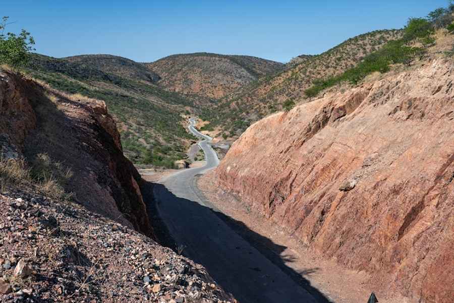
Driving the scenic Joubert Pass in northern Namibia
Joubert Pass is a mountain pass at an elevation of 1,436 meters (4,711 feet) above sea level, located in the Kunene region of Namibia.

Is Joubert Pass unpaved?
Set high in the northern part of the country, the road through the summit, also known as Otjomatemba Pass, is called C43. The road has both paved and unpaved sections. Careful driving is required, especially at the lowest point of the pass where local rivers cross the road, as there may be large stones. The steepest section of the road (1 km) is asphalted and requires 1st gear due to the steep gradient. Only a small section at the bottom is a bit rough. The rest of the route is gravel, but a 4x4 is not necessary.
How long is Joubert Pass?
The pass is 134 km (83 miles) long, running south to north from Sesfontein to Opuwo. Plan for about 3 hours to complete the drive without any stops. Note that some refer to the pass as the Jan Joubert Pass, but it is not the same road.
Pic: Harald Padeborn