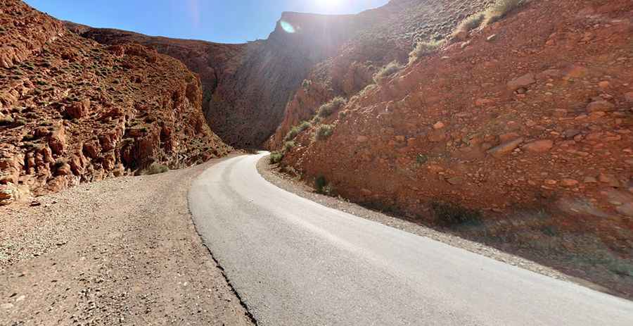
R703 is a scenic road in the High Atlas Mountains of Morocco
R703 is a scenic high mountain road located in the eastern part of the High Atlas Mountains in Morocco.

How long is R703 road in the High Atlas?
The road is 83.2km (51.69 miles) long. It runs south-north from R317 Road (near Agoudal, a small mountain town at an elevation of 2.300m-7,545ft above sea level) to N10 Road, near Tinghir, also known as Tinerhir (a city in the region of Tinghir, south of the High Atlas).
Is the R703 road in Morocco paved?
It’s a pretty spectacular road in parts, running through Todra Gorges (subject to flooding) and climbing up to Tizi-n-Tirherhouzine, a high mountain pass at an elevation of 2.675m (8,776ft) above sea level and subject to winter closures. The gorge requires a careful driving (water flows over the road) in the rain. The road was fully paved in 2014. Do not travel this road in severe weather conditions.
Pic: Ward Blackwell