The Ultimate Guide to Traveling Matebeng Pass
Matebeng Pass is a high mountain pass at an elevation of 2,960m (9,711ft) above sea level, located in Lesotho. It’s one of the highest roads in the country.

Where is Matebeng Pass?
The pass is located on the boundary between Thaba-Tseka and Qacha's Nek districts, in the southeastern part of the country, near the border with South Africa.
Is the Road to Matebeng Pass Unpaved?
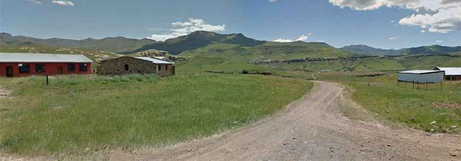
The long road to the summit is completely unpaved. It’s a very steep, twisting, and turning track running through several small villages, with countless curves and hairpin turns. The track is only recommended for 4WD vehicles.
How Long is the Road to Matebeng Pass?
The pass is 112 km (69 miles) long, running north-south from Mohlanapeng (in the Thaba-Tseka District) to Ramatšeliso (in Qacha's Nek District).