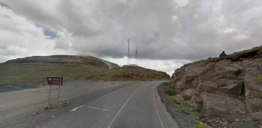
Travel guide to the top of Moteng Pass
Moteng Pass is a high mountain pass at an elevation of 2.820m (9,252ft) above sea level, located in the Butha-Buthe District of Lesotho. It's one of the highest roads of the country.

How long is Moteng Pass?
Set high in the Drakensberg-Maluti Mountains of the Mountain Kingdom, the road to the summit is called A1. The pass is 77.9 km (48.4 miles) long, running from Qalo to Letseng-la-Terae.
Is Moteng Pass paved?
The road through the summit is totally paved. It’s generally good however it becomes more potholed than tarred, the closer you get to Mokhotlong.
How challenging is Moteng Pass?
The maximum slope is 17%. It’s pretty curvy, with 4 extreme hairpin bends. The road carries a fair volume of traffic including some very large trucks. It has been the scene of numerous accidents, mostly involving trucks and buses. The Mahlasela Pass is not far on the same road.
Is Moteng Pass open?
Tucked away in the northern Highlands, heavy snowfalls frequently close the pass in winter. Time your trip well as the pass may be closed due to winter snow and ice. The road can be treacherous in snow and ice. It’s a beautiful pass to drive, but be vigilant during winter as the road gets very slippery. Even in the summer expect a cool climate. A minor gravel road north of the pass (-28.743026, 28.600871) climbs up to 2.901m (9,517ft) above sea level.
Is Moteng Pass worth it?
To drive the road without stopping will take most people between 1.5 and 2 hours. The drive offers great views. From up on the summit of Moteng Pass the views are incredible. The journey is incredibly scenic with frozen rivers, beautiful vistas and spectacular views. The road provides a gateway to this largely untapped world of high-altitude adventure.