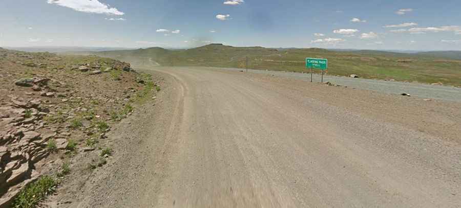
Tlaeeng Pass is one of the highest roads of Lesotho
Tlaeeng Pass is a high mountain pass at an elevation of 3.262m (10,702ft) above sea level, located on the boundary between Butha-Buthe and Leribe districts of Lesotho. It’s one of the highest roads of the country.

Is Tlaeeng Pass in Lesotho paved?
Set high in the Lesotho Highlands, the road to the summit is mostly unpaved. It is called A1 (also known as the Oxbow-Mapholaneng Road). It’s said to be one of the highest road passes in Southern Africa. At the end of this long (and poorly maintained) road, one of the highest motorable passes in Africa, is situated the famous Sani Pass.
How long is Tlaeeng Pass?
The road is 102km (63 miles) long, running north-south from Oxbow to Mokhotlong through a desolate landscape known as the Roof of Africa. As you can imagine, the views here are truly outstanding, and the drive offers undulating mountain scenery and clean crisp air.
How long does it take to drive Tlaeeng Pass?
To drive the road without stopping will take most people between 3 and 4 hours. It passes through bleak, sparsely populated but entrancing mountain countryside. Best during daylight hours. There is nothing untoward on the road. Pleasantly scenic. Although tarred in parts, the cold weather has taken its toll on this high stretch of the road, and the ice has cracked it in parts, causing potholes, so drive carefully.