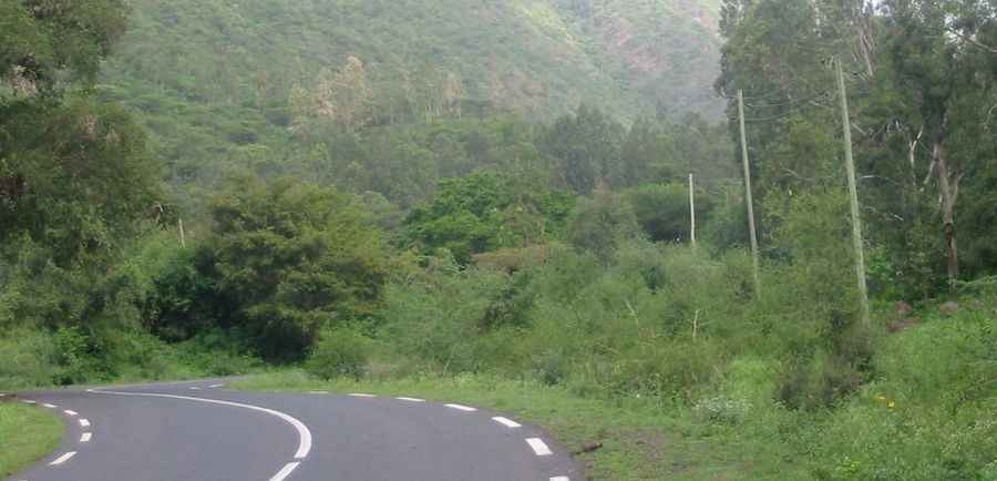
Travelling through the steep A2 Road from Alamata to Korem
Route 2 (A2) is one of Ethiopia’s main highways, connecting key regions across the country. While much of it serves as a vital transport corridor, the stretch between Alamata and Korem, in the Tigray Region, is a challenging mountain road climbing the eastern edge of the Ethiopian highlands, with steep grades and dramatic elevation gain.
Where does the A2 Road start and end?
This mountain section of Route 2 runs south to north from Alamata (a town in the Debubawi Zone of the Tigray Region at 1,520 meters above sea level) to Korem (situated at 2,539 meters, on the eastern edge of the Ethiopian highlands). Though the road is fully paved, it includes steep gradients up to 12%, making it a demanding climb.
How long is the A2 Road from Alamata to Korem?
This portion of Route 2 is 31.8 km (19.75 miles) long and features 30 hairpin turns. The road winds up steep mountain slopes, connecting the lowlands to the high plateau. Between Alamata and Korem, the elevation gain is 1,019 meters, with an average gradient of 3.20%.
Pic: thd012