Mamuil Malal Pass: a border road in the Andes
Paso Mamuil Malal is an international high mountain pass at an elevation of 1,253m (4,111ft) above sea level, on the border between Chile and Argentina.

Where is Paso Mamuil Malal?
The pass, also known as Paso Tromen, is located north of Lanín Volcano and links the Araucanía Region of central Chile and the Neuquén Province of Argentina. Before traveling, it is advisable to check that both countries are using the same time zone at the corresponding tourist offices, as Chile usually changes it during certain seasons.
How long is Paso Mamuil Malal?
The road through the pass is 84.9 km (52.75 miles) long and runs from Curarrehue (in Cautín Province of Araucanía Region of Chile) to Malleo (in the province of Neuquén, Argentina).
Is Paso Mamuil Malal paved?
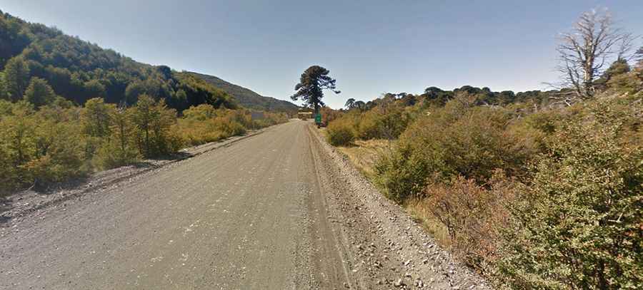
On the Chilean side, the road to the summit is called Ruta CH-199, which begins at the Panamerican Highway near Freire. It was totally paved in 2017. On the Argentine side, the road is called Ruta 60. The last 12 km to the pass are unpaved. However, there are plans to asphalt the road.
Is Paso Mamuil Malal open in winter?
Set high in the low Andes Range, the pass is occasionally closed as a precautionary measure due to the accumulation of snow in the winter. During the winter months, snow chains are compulsory.