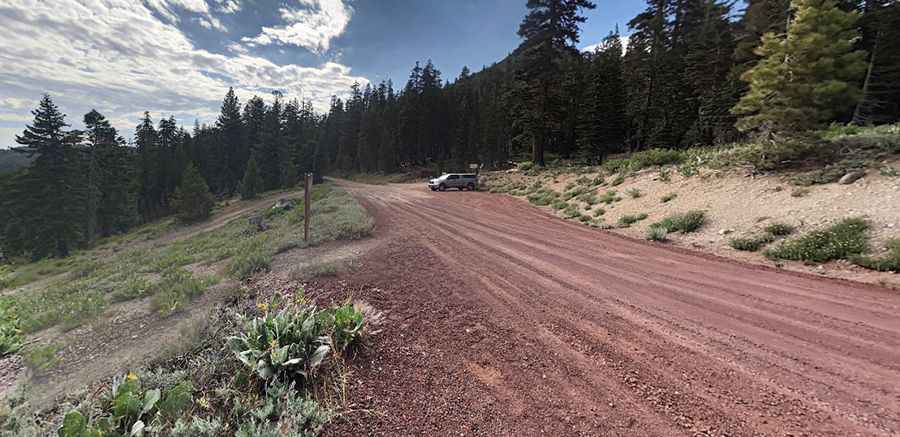
Road Trip Guide: Conquering Barker Pass in California
Barker Pass is a high mountain pass at an elevation of 2,372m (7,782ft) above sea level, located in Placer County, in the U.S. state of California. It is suitable for most stock 4WD vehicles.

Where is Barker Pass?
The pass is located in the northeastern part of California, within the Tahoe National Forest. Set high above Lake Tahoe, the road to the summit can get busy on the weekends. It often has more bikes than car traffic.
Is Barker Pass Unpaved?
The road to the summit is mostly unpaved. It starts paved and is totally doable in 2WD, but gets very interesting later as you climb, and a 4x4 vehicle is required to complete the drive. It’s called Barker Pass Road.
Is Barker Pass Open in Winter?
This road is usually impassable from late October through late June or early July. Snow may persist in spots well into the summer.
How Long is the Road to Barker Pass?
The road to the summit is very steep, hitting a 12% maximum gradient through some of the ramps. Starting in Tahoe Pines, at W Lake Boulevard, the ascent is 11.26km (7.0 miles) long. Over this distance, the elevation gain is 467 meters, and the average gradient is 4.14%.
Pic: Paul Andrews