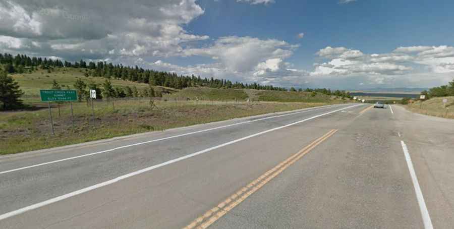
A paved road to Trout Creek Pass in the Rocky Mountains
Trout Creek Pass is a high mountain pass at an elevation of 2.896m (9,501ft) above sea level, located in the US state of Colorado.

Where is Trout Creek Pass?
The pass is located on the boundary between Park and Chaffee counties, in the south-central part of Colorado, within the San Isabel National Forest.
Is Trout Creek Pass paved?
The road to the summit is totally paved. It’s traversed jointly by U.S. Highway 24 and US 285. The approach from the north is mild, while the south side has a moderate 5% grade.
How long is Trout Creek Pass?
The pass is 42.48km (26.4 miles) long running east-west from Hartsel (in Park County) to Johnson Village (in central Chaffee County).
Is Trout Creek Pass open in winter?
Tucked away in the Rocky Mountains, the pass is usually open all year round. It is closed only during severe winter storms.