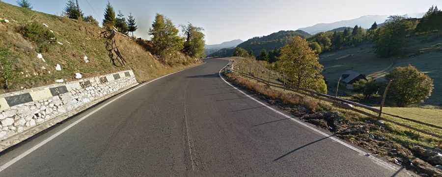
Driving the Paved Road to the Historic Rucar-Bran Pass
Pasul Rucar-Bran is a mountain pass at an elevation of 1,272 m (4,173 ft) above sea level, located on the boundary between Brașov and Argeș counties in Romania.

Where is Rucar-Bran Pass?
The pass links the Transylvania and Muntenia regions. It’s located in the central part of the country. For centuries, the road has served as a historical access route between Southern Romania and Transylvania.
Is Rucar-Bran Pass Paved?
The road to the summit is totally paved. It’s called DN73 (part of the E574). It’s known mainly for its beautiful landscapes.
How Long is Rucar-Bran Pass?
Set high in the Carpathian Mountains, the pass is 18.0 km (11.18 miles) long, running from Podu Dâmboviței to Drumul Carului.