The Wild Road to Cerro de la Muerte in Costa Rica
Cerro de la Muerte is a high mountain pass at an elevation of 3,341m (10,961ft) above sea level, located in the province of San José, Costa Rica. It’s the highest point on the Central American section of the Pan-American Highway.

Where is Cerro de la Muerte in Costa Rica?
The pass is situated on the route from Cartago to San Isidro de El General, in the southern part of the province of San José. A minor gravel road south of the pass leads up to the actual peak, at 3,470m (11,384ft) above sea level, where a cluster of telecommunications aerials can be found.
Why is it called Cerro de la Muerte?
The pass earns its name, which means "Mountain of Death", due to the many travelers who succumbed to the cold and rain in the past.
Is the road to Cerro de la Muerte in Costa Rica paved?
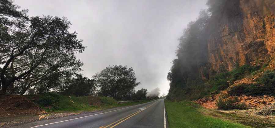
The road to the summit, also known as Cerro Buenavista, is entirely paved but is filled with steep curves and potholes. It is designated as Ruta 2 and forms part of the Pan-American Highway. This section of the highway is plagued by excessive potholes, steep, narrow curves, and frequent fog, traversing various climates and temperatures. The drive is fraught with blind corners, perilous cliffs, and reckless drivers who take significant risks to overtake slower vehicles. It’s a hazardous journey, marked by roadside crosses commemorating those who have perished.
Is Cerro de la Muerte in Costa Rica worth it?
The scenery at the summit of Cerro de la Muerte is breathtaking. Visitors are treated to exquisite panoramic views of the Cordillera de Talamanca. On a clear day, one can gaze across the lush jungle to see the Pacific Ocean in the background.
Is the road to Cerro de la Muerte in Costa Rica open?
Situated high in the Talamanca range, the road is typically open year-round. However, flash floods, landslides, narrow curves, and steep cliffs render the pass extremely perilous. During rains, the route becomes treacherous and slippery. The peak can be exceedingly windy, necessitating warm clothing due to the high altitude.
Pic: Gianfranco Vivi