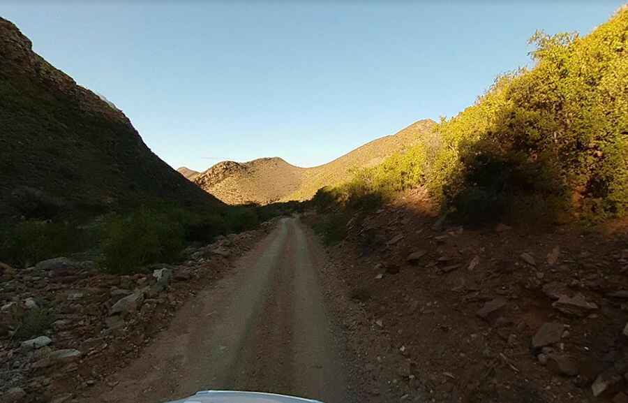
Adventure along Bosluiskloof Pass in SA
Bosluiskloof Pass is a mountain pass at an elevation of 1.124m (3,687ft) above sea level, located in the Western Cape province of South Africa. Focused attention by drivers required.

When was Bosluiskloof Pass built?
The pass was built in 1862 by Adam de Schmidt, an associate of Thomas Bain on many of his projects and indeed his brother-in-law.
Why is it called Bosluiskloof Pass?
It’s named after the fossils of the bush tick (bosluis) found in the rock formations in the area.
Can you drive to Bosluiskloof Pass in SA?
Set high between the Swartberg and the Elandberg mountain ranges, the road to the summit is totally unpaved. It’s a challenging drive with more than 60 curves and steep parts with unguarded drop offs. Extra caution is required. A 4x4 vehicle is recommended. It’s a very steep drive hitting a 20% of maximum gradient through some of the ramps.
How long is Bosluiskloof Pass in SA?
The pass is 23.9 km (14.85 miles) long, running west-east from Seven Weeks Poort to Gamkapoort Dam. The dam is pretty remote. Ideal time to travel is daylight. This is a scenic drive with breathtaking views.
Pic: Dunlop Uncharted