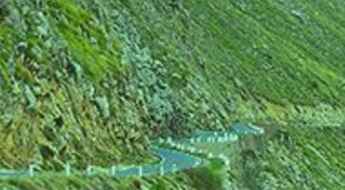
What are the most spectacular roads in Algeria?
With 2,381,740 square kilometres (919,590 sq mi) of land, Algeria is the largest country of Africa and the 10th largest in the world. Located in the northern part of Africa, its Arabic name, Al Jazair (the islands), is believed to derive from the rocky islands along the coastline of the Mediterranean Sea.
The 80% of the country is desert and its landscape comprises mountains, plateaus, and coastal plains as well. Bordered by the Mediterranean Sea to the north, the Sahara Desert covers much of the southern part, while the northern region features the Tell Atlas mountain range.
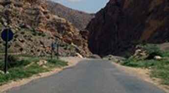
The most spectacular roads in the country include the Trans-Sahara Highway, a 4,500-kilometer road traversing the country, as well as Niger and Nigeria. In the northern part lies Tikjda Pass, a mountain pass at an elevation of 1,462 meters above sea level. Situated in the province of Bouïra, it offers a scenic drive through the Kabylie mountains. For those seeking a journey to the heights, Col de Tirourda is a high mountain pass, at 1,737 meters above sea level, straddling the boundary between Bouïra and Tizi Ouzou provinces in the northern part of the country.
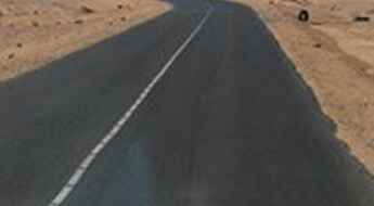
Trans-Sahara Highway is 4.500km of true adventure in Africa
Trans-Sahara Highway is one of the most brutal roads in the world. Running for 4,500km through Algeria, Niger and Nigeria, it's a real test that attracts the brave and the crazy.
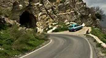
How to drive to Tikjda Pass in northern Algeria
Tikjda Pass is a mountain pass at an elevation of 1.462m (4,796ft) above sea level, located in the province of Bouïra, in Algeria.
Travel guide to the top of Col de Tirourda
Col de Tirourda is a high mountain pass at an elevation of 1.737m (5,698ft) above the sea level, located on the boundary of Bouïra and Tizi Ouzou provinces in northern Algeria.
Djebel Chélia
Djebel Chélia is a high mountain peak at an elevation of 2.293m (7,522ft) above the sea level, located in Batna Province of Algeria.
Driving the wild Col-Ain-Tinne
Col-Ain-Tinne (Teniet Bou Irhyal) is a high mountain pass at an elevation of 1.686m (5,531ft) above the sea level, located in Batna province, in the Aures region of north-eastern Algeria.
Assekrem
Assekrem is a high mountain plateau at an elevation of 2.708m (8,884ft) above the sea level, located in the Tamanrasset Province of southern Algeria.
Tizi-n-Kouilal
Tizi-n-Kouilal is a high mountain pass at an elevation of 1.565m (5,134ft) above the sea level, located in the Djurdjura Mountains in northern Algeria, in the province of Bouïra.
Azrou n'Thor
Azrou n'Thor is a high mountain peak at an elevation of 1.800m (5,905ft) above the sea level, located in Tizi Ouzou Province in northern Algeria.
Tizi Tirkabine
Tizi Tirkabine is a high mountain pass at an elevation of 1.362m (4,468ft) above the sea level, located in northern Algeria, in the province of Bouïra.
Azrou Ou Gougane
Azrou Ou Gougane is a high mountain pass at an elevation of 1.867m (6,125ft) above the sea level, located in Tizi Ouzou Province in northern Algeria.
